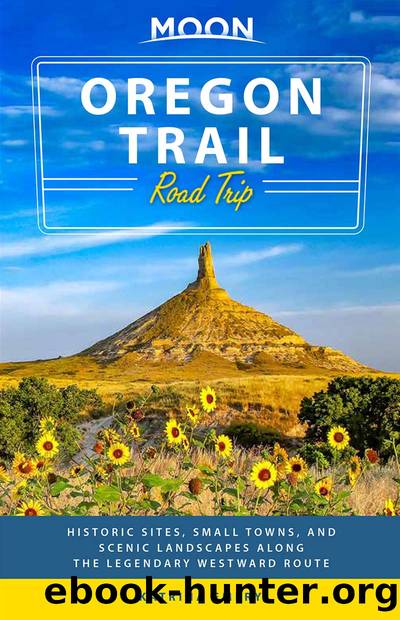
Moon Oregon Trail Road Trip by Katrina Emery

Author:Katrina Emery
Language: eng
Format: epub
Publisher: Avalon Publishing
Published: 2020-07-15T00:00:00+00:00
Sights
You can see the fossilized remains of entire schools of fish at Fossil Butte National Monument. It’s open year-round, though seasonal snow may impact many of the roads and trails. Start at the visitors center (864 Chicken Creek Rd., 307/877-4455, www.nps.gov/fobu, 8am-4:30pm daily Mar.-late May and early Oct.-Nov., 8am-6pm daily late May-early Sept., 8am-5pm daily early Sept.-early Oct., 8am-4:30pm Mon.-Sat. Dec.-Feb., free), which has a beautiful gallery and interpretive space showcasing over 300 fossils discovered in the buttes; many are casts, or replicas, but there are plenty of real ones too. Fish feature prominently, and you’ll also see a giant 13-foot crocodile, a huge turtle, mammals, birds, plants, and flowers. There are a few great examples of “mass mortality” fossils—with many overlapping fossils in one panel—when an event occurred that caused many fish to die at once.
Outside, on the patio surrounding the center, stroll around the Journey through Time exhibit, a walk through a series of interpretive panels describing a prehistoric timeline starting 4.54 billion years ago. The timeline is set to scale, so each step you take corresponds to a set number of years. Follow the panels around the visitors center and enjoy great views. Note the end of the massive timeline—on such a large scale, recorded human history is barely a blip.
A scenic drive (late May-Nov.) takes you from the visitors center to the top of a mesa. It’s a 10-mile (16-km) out-and-back trip on gravel roads, a 30-minute drive in total. From the visitors center, continue north on Chicken Creek Road for 2 miles (3.2 km) to the Nature Trailhead and picnic area; the road is paved to this point, and afterward gets narrower, steeper, and turns to gravel—it’s not recommended for RVs or trailers. (You’re welcome to unhook your trailer in the parking lot here or at the visitors center to continue.) Continue another 3 miles (4.8 km) up the steep road to the top of the mesa. From here, a few unpaved trails allow access to surrounding BLM land. The most expansive views of the landscape are from Rubey Point—turn left on the second unpaved road and drive 1 mile (1.6 km) on the mesa to reach it, or park and walk.
Download
This site does not store any files on its server. We only index and link to content provided by other sites. Please contact the content providers to delete copyright contents if any and email us, we'll remove relevant links or contents immediately.
| Africa | Americas |
| Arctic & Antarctica | Asia |
| Australia & Oceania | Europe |
| Middle East | Russia |
| United States | World |
| Ancient Civilizations | Military |
| Historical Study & Educational Resources |
Cat's cradle by Kurt Vonnegut(15344)
Pimp by Iceberg Slim(14494)
4 3 2 1: A Novel by Paul Auster(12382)
Underground: A Human History of the Worlds Beneath Our Feet by Will Hunt(12094)
The Radium Girls by Kate Moore(12022)
Wiseguy by Nicholas Pileggi(5776)
The Fire Next Time by James Baldwin(5434)
Perfect Rhythm by Jae(5400)
American History Stories, Volume III (Yesterday's Classics) by Pratt Mara L(5303)
Paper Towns by Green John(5185)
Pale Blue Dot by Carl Sagan(5003)
A Higher Loyalty: Truth, Lies, and Leadership by James Comey(4958)
The Mayflower and the Pilgrims' New World by Nathaniel Philbrick(4498)
The Doomsday Machine by Daniel Ellsberg(4489)
Killers of the Flower Moon: The Osage Murders and the Birth of the FBI by David Grann(4447)
The Sympathizer by Viet Thanh Nguyen(4387)
Too Much and Not the Mood by Durga Chew-Bose(4344)
The Borden Murders by Sarah Miller(4319)
Sticky Fingers by Joe Hagan(4193)
